 Ethnographic Field Lab 2012
Transnational Phoenix
Ethnographic Field Lab 2012
Transnational Phoenix


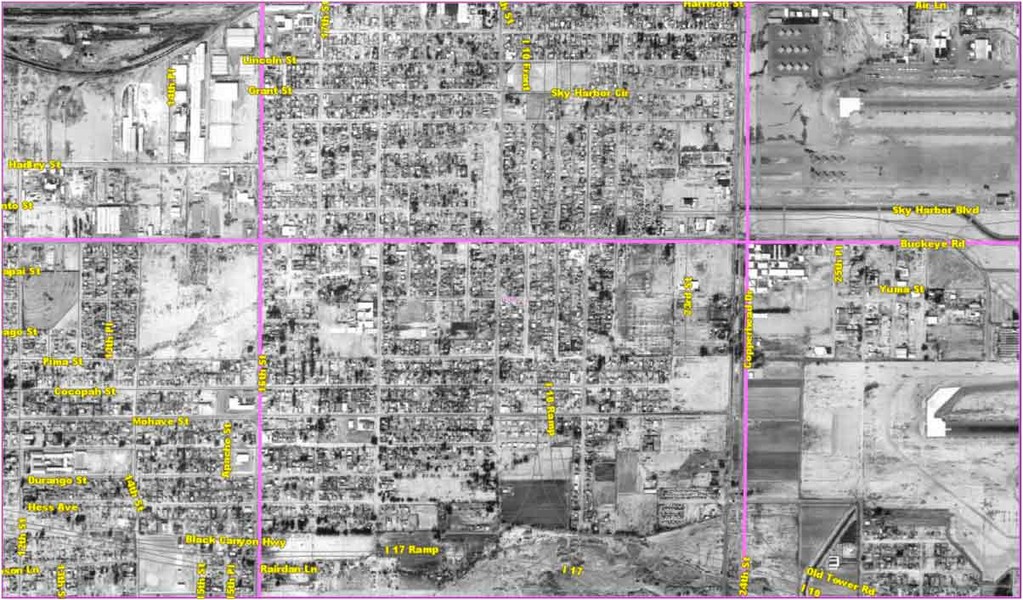


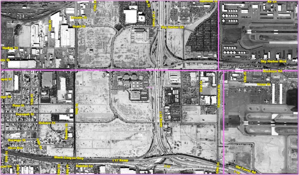


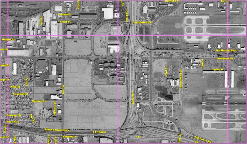


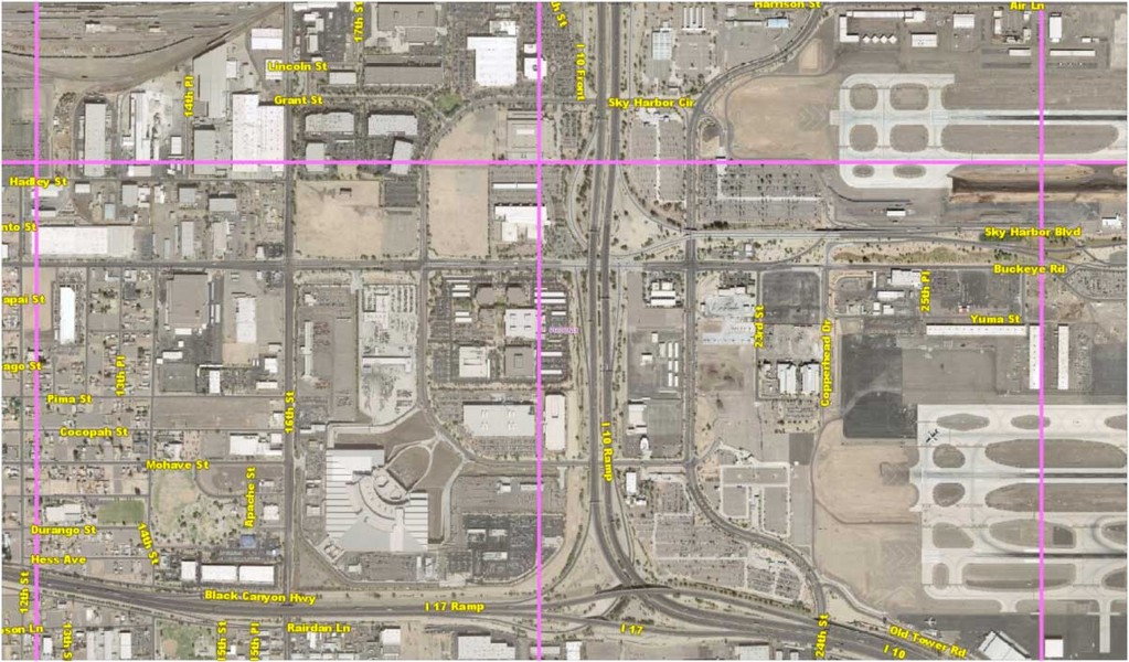


Animated Visualization of Urban Change 1930-2009
Two global movements transform local Phoenix space
This animation shows changes in a central Phoenix area from 1930-2009. Its source is a series of Maricopa County interactive historical aerial photos dating to the 1930s,
available online. The sequence stunningly reveals first the appearance and then the
disappearance of the residential built environment. In this site, located slightly northeast of Sky Harbor Airport, we see the emergence of the
Golden Gate Barrio community and its subsequent erasure by a major freeway and the city's designation of a Foreign Trade Zone. Read more about
this...
Hey Visitor
Site constructed by undergraduate students in Kristin Koptiuch's Ethnographic Field Lab class at Arizona State University, spring 2012.
© 2012 Please give credit to authors when citing. Viewpoints expressed are those of the authors and do not necessarily represent views of the professor or ASU.

Find us here!